
Hiking Dude Blog
2025 - Aug Jul
2024 2023 2022 2021 2020 2019 2018 2017 2016 2015 2014 2013 2012 2011
09/12/2017
Done Hiking Today

I finished hiking for today. You can check out my current location on the map and I'll post about my day when I am in coverage.
Leave Comment
Posted: 09/12/2017
Posted: 09/12/2017
09/11/2017
Done Hiking Today

I finished hiking for today. You can check out my current location on the map and I'll post about my day when I am in coverage.
Leave Comment
Posted: 09/11/2017
Posted: 09/11/2017
09/10/2017
Day 52: Sun
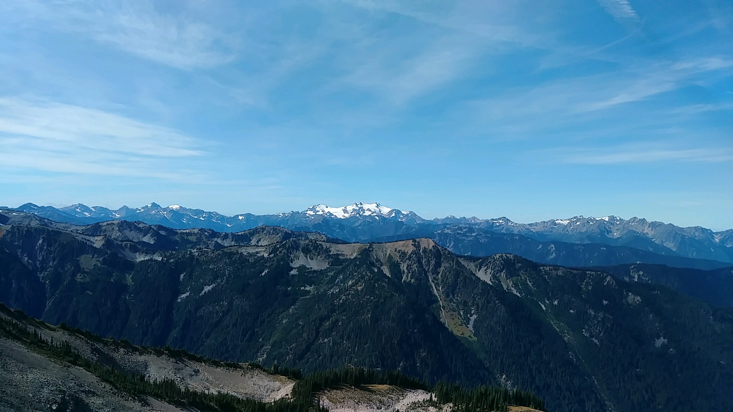 I walked 64780 steps on the trail today.
I traveled about 27 miles today.
9/10/17 With no cloud cover, it gets cold at night! We had ice in our water and frozen socks from our soggy hike yesterday. A very uncomfortable start to the day but we have extra miles to make up from our weather shortened hike yesterday.
As we hiked, the wet plants crowding the trail would continually soak our legs and shoes. That lasted a few hours.
With the sun out, it seemed the people came out too. We encountered dozens of backpackers and, as we neared Hirricane Ridge, many more day hikers.
We climbed Grand Pass, which we were supposed to do yesterday, to glorious views back to Cameron Pass and the terrain we had struggled through. Then, it was on ahead over an unnamed pass up to Obstruction Point where all the day hikers were parked.
We were hoping to cover 27 miles today to get back on our itinerary but that's a lot in these mountains. At Obstruction Point, we got a pleasant surprise. The next few miles along Hurricane Ridge would be a gravel roadwalk. So, we chewed up the miles quickly as we enjoyed wonderful views of Mt. Olympus and the rest of range.
The last leg of the day's hike was up Hurricane Hill and then a 5000 foot decent to our camp at Altair where there just happens to be coverage so I'm catching up on these posts. We should finish our trek on Friday if all goes well.
Day 51: Close Call
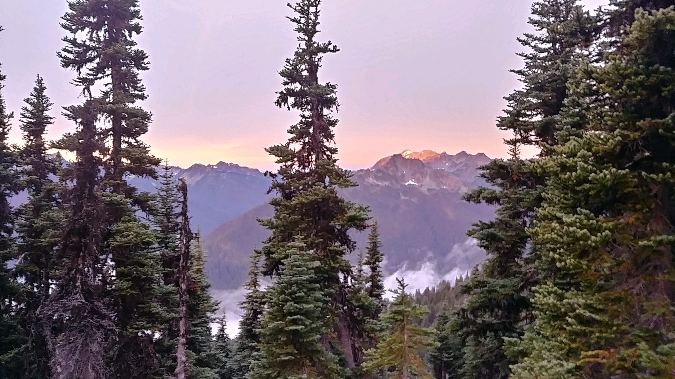 I walked 43150 steps on the trail today.
I traveled about 16 miles today.
9/9/17 We woke to our first view of the Olympic mountains. It was cold but there was a beautiful sunrise shining on the mountains between high clouds and fog in the valleys. We had high hopes for a great day but it didn't go as planned.
The clouds and fog refused to burn off as we dropped from our Sunnybrook Meadows campsite down into a valley for many miles. The 100% humidity continued and the temperature fell as we climbed over Lost Pass in wind and driving mist. As we continued on to Cameron Pass, the wind picked up and so did the rain. High above treeline with no cover at all, we were buffeted relentlessly. We crested the pass and descended to sparce tree cover where we found a camp spot and set up. This was about 3pm, cutting our day and miles short. It took about 6 hours of rest in our smog, warm tent until my feet and hands felt warm again.
Our permit itinerary had us climbing over one more passand staying at a different campsite. With the extreme weather, that would have been very dangerous to attempt. Lucky for us, the ranger that stopped by around 5pm agreed with us.
We hit the southern most point of our trip today. Now we just need the western most at the very end. And, we had a couple pesky deer entertain us while we rested on our tent. Also, as night fell, the clouds blew out and the moon and stars were bright so there are high hopes again for tomorrow.
Leave Comment
Posted: 09/10/2017
Posted: 09/10/2017
Day 50: Fog and Clouds
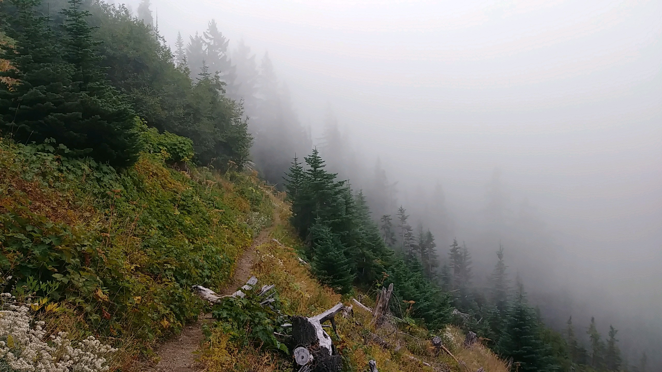 I walked 48760 steps on the trail today.
I traveled about 21 miles today.
9/8/17 Our night was a soggy one with quite a bit of rain and even a couple flashes of lightning, but we were gone in our tent. We woke to drizzle that remained all morning and was replaced by fog and clouds the rest of the day.
We ran into a few groups of backpackers and saw occasional glimpses of views but mostly many miles of fog.
Buckhorn, Marmot, and Constance passes gave us a lot of exercise, climbing over 6000 feet up. Our camp tonight is up at 5500 feet.
Leave Comment
Posted: 09/10/2017
Posted: 09/10/2017
Day 49: Rain
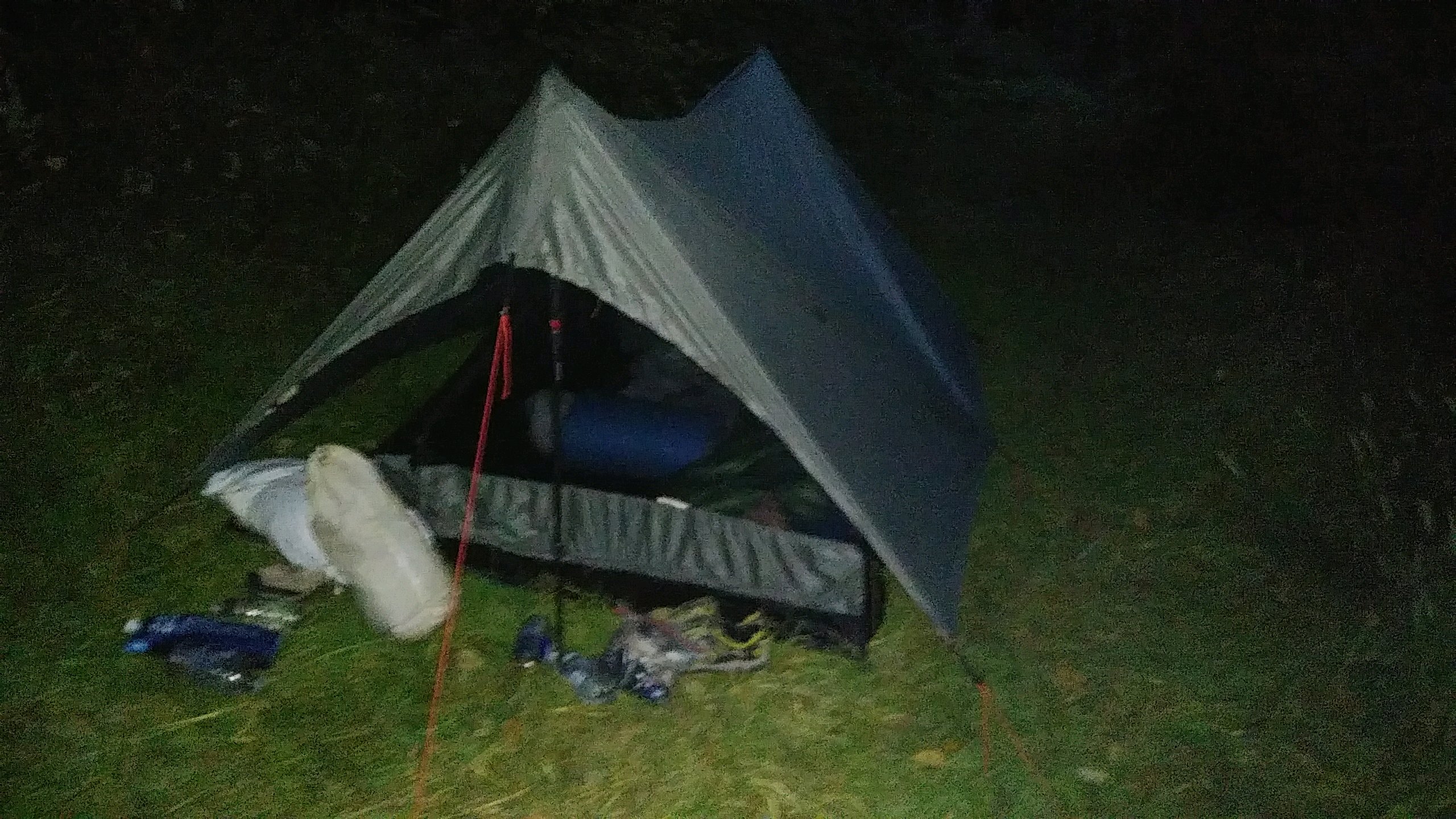 I walked 51790 steps on the trail today.
I traveled about 23 miles today.
9/7/17 Today was much like the day we spent climbing up to the Pasayten Wilderness. We climbed over a mile in total, leaving houses and roads behind, but didn't really get to anything nice yet.
We had a challenge finding the right old road to start on, and wound up facing off against two pit bulls and talking to a very nice lady who wondered why so many hikers kept walking up the dead end road to her yard this summer. We were two of them! We told her about the PNT and that the maps make it look like the road to her house is the trail to take - and that we would let the PNT folks know.
Josh was successful in getting our permit to backpack through the Olympic National Park, and reservations at the six campsites we'll use. Tonight, we are just camped right on the trail since we're out in the middle of nowhere and there are no established sites.
At one rest break we took at a trailhead, three cyclists stopped by and asked for help in finding their destination. Fortunately, it was on our app and just down the road a few miles shoo we could help out. Other than that, we saw no one and just hiked and sweated in the higher humidity here on the peninsula. It did sprinkle a bit this evening and we're expecting real rain tomorrow and Saturday. >br> So, here's our camp for the night - no other pictures today because we just walked through forest.
Leave Comment
Posted: 09/10/2017
Posted: 09/10/2017
09/09/2017
Done Hiking Today

I finished hiking for today. You can check out my current location on the map and I'll post about my day when I am in coverage.
Leave Comment
Posted: 09/09/2017
Posted: 09/09/2017
09/08/2017
Done Hiking Today

I finished hiking for today. You can check out my current location on the map and I'll post about my day when I am in coverage.
Leave Comment
Posted: 09/08/2017
Posted: 09/08/2017
09/07/2017
Done Hiking Today

I finished hiking for today. You can check out my current location on the map and I'll post about my day when I am in coverage.
Leave Comment
Posted: 09/07/2017
Posted: 09/07/2017
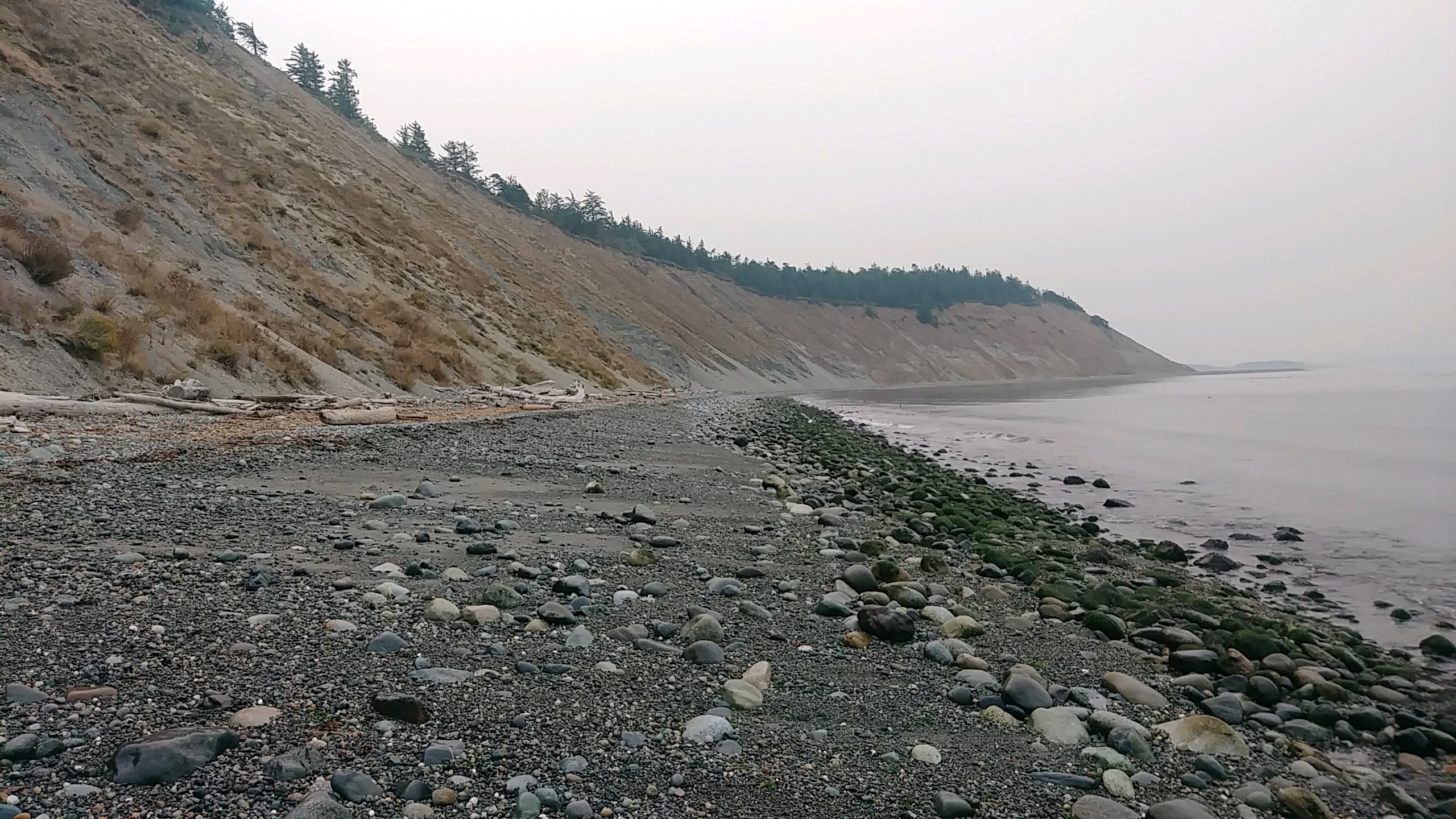
Day 48: Roads and Beaches
 I walked 48668 steps on the trail today.
I traveled about 24 miles today.
9/6/17 We're still on our way out of civilization. Today was a long day of roadwalks with a little beach hiking thrown in. We left the Happy House and walked the rocky beach at high tide so there wasn't much room but it was nice watching the birds and big boats go by.
We reached the ferry landing and took it across the sound to Port Townsend for our easiest miles of the trip. In PT, we had lunch at McDonald's and then resupplied at Safeway for our week through the mountains to Forks.
The us20 roadwalk before Discovery Bay was very thin and dangerous - I'm so glad that is over! As a reward, we ate dinner at Fat Smitty's - a very cool place inside.
We found our way to the last trail angels on the PNT, the Resecks, and set up our tent in their yard. Tomorrow, we're off for the mountains and probably no posting for a week.
Older Posts Newer Posts
Find more Hiking Resources at www.HikingDude.com


Follow Me
Recent Comments